

Drone services, UAV services
The Drone Centre offers comprehensive drone services and other UAV services to support modern surveying, diagnostic and inspection processes.
We specialise in 3D mapping, thermal imaging and high-precision technical inspections of infrastructure. Our services also include environmental and agricultural monitoring, as well as video and photographic documentation for engineering and promotional projects.
Photogrammetry and 3D mapping
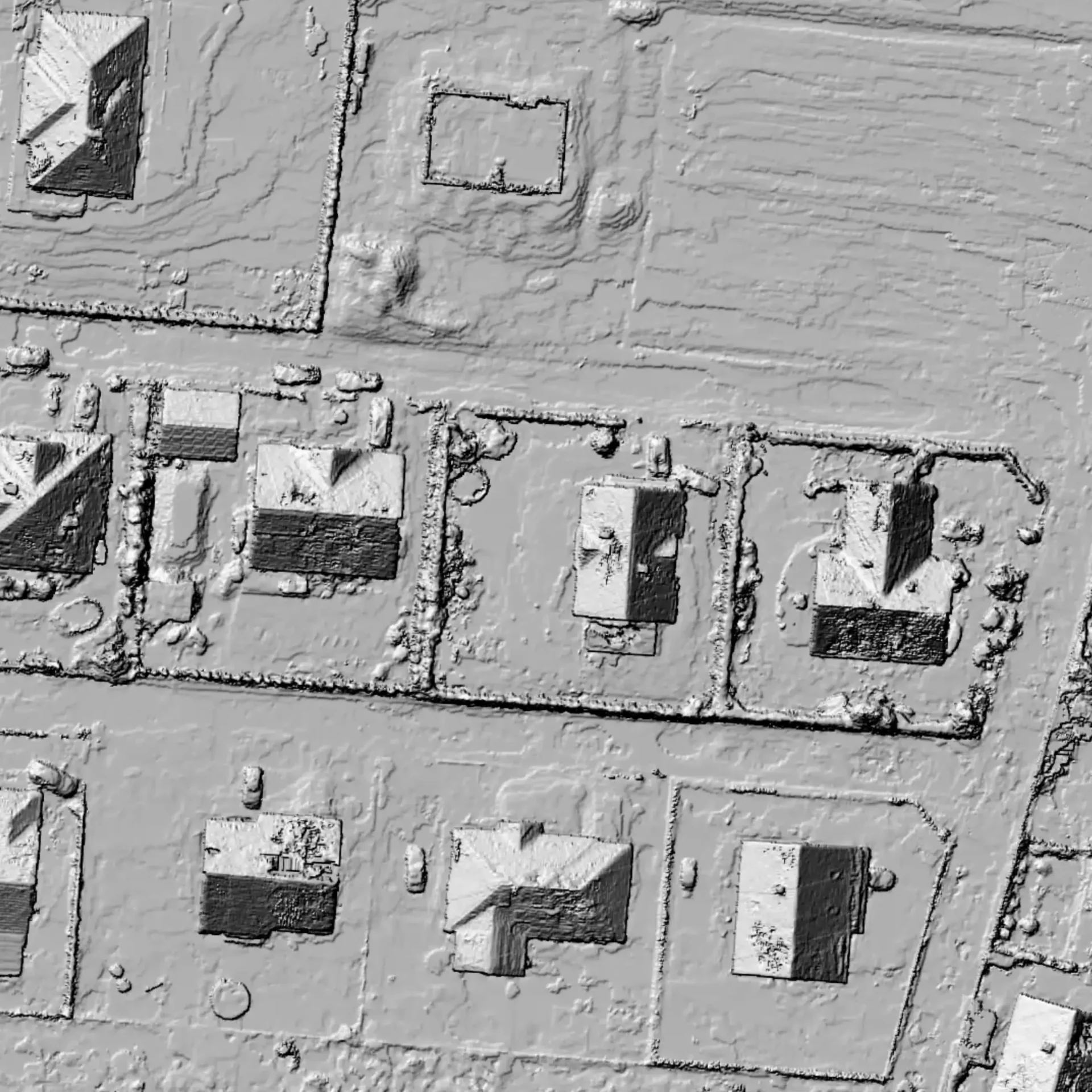
3D mapping is an advanced method of reconstructing spatial objects, which involves generating precise three-dimensional models based on photogrammetric data.
Using unmanned aerial vehicles (UAVs) equipped with high-resolution imaging systems, we capture sets of images which are then processed into point clouds, triangular meshes and textured models. This technique enables the accurate representation of the geometry and topography of the terrain, infrastructure and architectural features.
3D mapping is widely used in civil engineering, surveying, spatial planning, cultural heritage conservation, as well as in environmental management and precision farming. In the industrial sector, it is used to inspect technical structures and monitor the progress of construction work. In the context of scientific research, it enables the analysis of environmental changes, the modelling of geomorphological processes and high-accuracy spatial documentation.
Thermal imaging
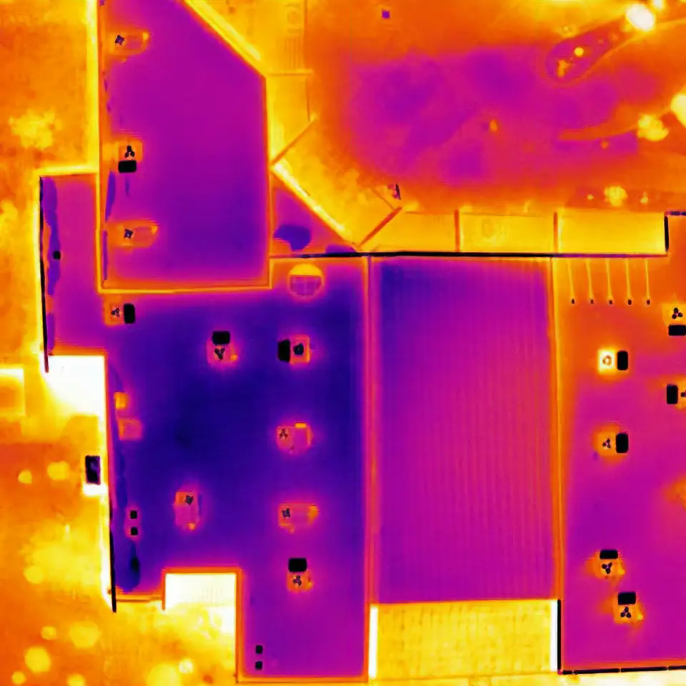
Thermal imaging is an advanced measurement technique that enables the detection and visualisation of thermal radiation emitted by objects.
By using specialist thermal imaging cameras, it is possible to create thermal images that show the temperature distribution across the surface of the components being inspected. This technology enables the rapid and non-contact detection of thermal anomalies that are invisible to the naked eye.
Thermal imaging is widely used across many sectors – from the construction industry, where it is used to identify areas of heat loss and leaks in the thermal insulation of buildings, to the manufacturing sector, where it enables the inspection of electrical and mechanical equipment. In the renewable energy sector, it is used to monitor the efficiency of photovoltaic panels, whilst in environmental protection it is used to monitor industrial waste tips and detect fire hazards. This technology is also used in rescue operations, forestry, precision farming and the diagnostics of critical infrastructure.
Agriculture
Drones and UAVs in agriculture are an extremely effective tool for monitoring crops from the air.
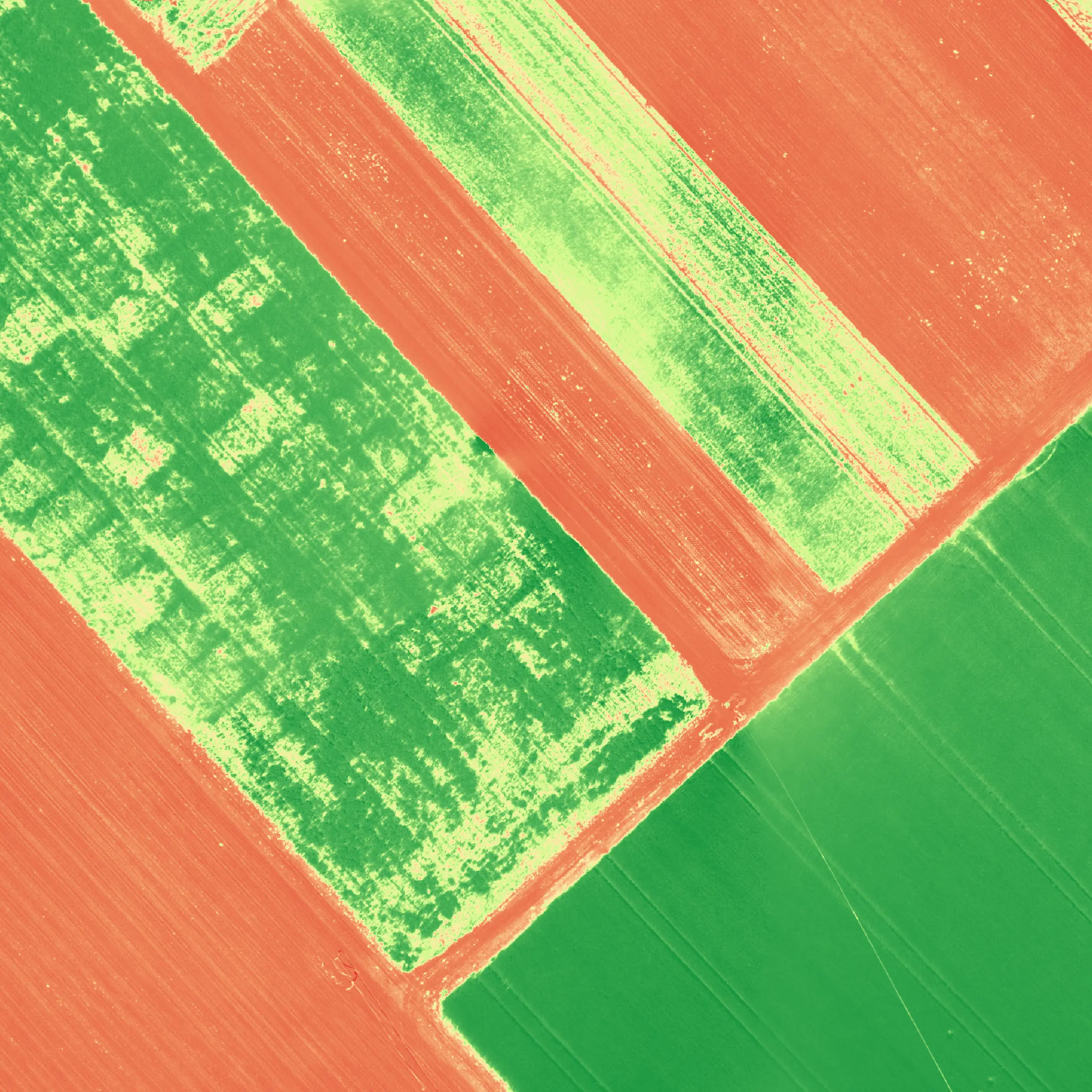
Drones in precision farming are a modern tool for monitoring the condition of crops from the air. Through the use of multispectral cameras, it is possible to generate the NDVI (Normalised Difference Vegetation Index) or NDRE (Normalised Difference Red Edge) indices, which allow the condition of plants to be assessed on the basis of their photosynthetic activity. Analysis of these indices enables the rapid detection of areas of plant stress, water or nutrient deficiencies, or the presence of diseases, before the problems become visible to the naked eye.
Regular field surveying using drones helps farmers make precise agronomic decisions — from fertilisation to irrigation — which translates into cost savings, higher yields and a reduced environmental impact. This technology significantly improves the efficiency of farm management and supports the development of sustainable agriculture.
Contact
- Head of the PTK Drone Centre: Dorota Plona
- Telephone: +48 784 704 715
- Email: drony@ptklubuskie.com
See also: